How AI Is Turning Underwater Video Into 3D Coral Reef Maps
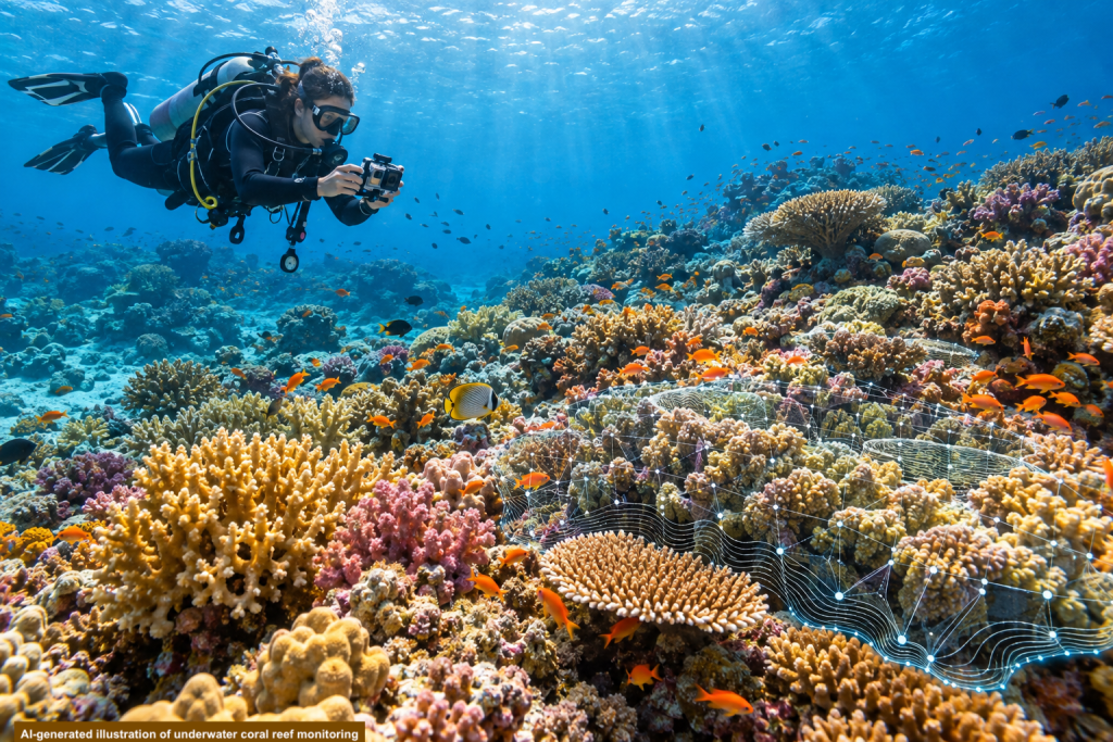
Coral reefs are living communities, constantly changing in response to warming water, human activity, and local environmental conditions. Protecting them requires more than a single photograph or occasional survey. Scientists need consistent ways to observe the same reefs over time and recognize meaningful change.
Researchers have now tested an artificial-intelligence system that can transform underwater video into detailed 3D maps of coral reefs. Called DeepReefMap, the system combines footage collected by divers with neural networks that reconstruct the reef and identify visible features across the seafloor.
The result is not an automated substitute for marine science. It is a new way to help researchers turn large amounts of underwater imagery into evidence they can compare and use.
From a diver’s camera to a 3D reef map
Divers recorded video while swimming along marked paths across reefs in Djibouti, Jordan, and Israel. The footage was captured with relatively inexpensive consumer-grade underwater cameras rather than specialized imaging systems.
DeepReefMap analyzes overlapping video frames to reconstruct the reef’s physical structure in three dimensions. A second process classifies visible areas of the seafloor, distinguishing live coral and other marine features when the images contain enough detail to do so reliably.
For the study, researchers analyzed 365 video transects from 45 Red Sea sites. The system had been trained using more than 184 hours of underwater footage and a dataset containing over 200,000 carefully annotated examples of seafloor features.
Why consistent monitoring matters
Traditional reef surveys can require substantial time from divers and coral experts. Different equipment, survey methods, and human interpretations can also make findings from separate locations difficult to compare.
DeepReefMap is designed to process video using a standardized method. In the Red Sea study, its estimates remained generally consistent across differences in lighting, water clarity, and video quality. The researchers also found that it could detect longer-term changes while producing similar results when the same reef was surveyed repeatedly under comparable conditions.
That consistency could help scientists distinguish an ecological change from a difference in how the reef was filmed or analyzed. It may also make regular monitoring more practical in regions with limited research resources.
What the AI contributes
Underwater video contains more information than researchers can quickly examine by hand. DeepReefMap uses neural networks to estimate depth, connect overlapping frames, and construct a three-dimensional representation of the reef. It also uses image segmentation to classify visible portions of the seafloor.
The AI accelerates a demanding stage of the work, but it does not decide what should be protected or how conservation resources should be used. Divers still collect the footage. Marine experts create and verify the classifications. Scientists interpret the results within the wider ecological context.
The value comes from that partnership: human expertise gives the system meaning, while AI helps transform extensive video into information that can be examined over time.
What this does—and does not—prove
The study demonstrates that DeepReefMap can produce rapid, repeatable surveys across varied Red Sea environments. It does not show that AI can identify every coral species, diagnose every threat, or determine the right conservation response.
Some organisms cannot be reliably distinguished from underwater video, even by experts. Poor visibility and unstable footage can also reduce the consistency of the results. The system was trained for Red Sea reefs, so using it in other regions would require suitable local data and further validation.
Most importantly, mapping a reef does not protect it by itself. The technology can help people see where change is occurring, but conservation still depends on scientific judgment, local knowledge, and sustained human action.
Why this matters
Coral reefs can change long before the full scale of the damage becomes obvious. More frequent and comparable surveys can help scientists recognize those changes earlier and build a clearer record of what is happening beneath the surface.
DeepReefMap reflects the kind of partnership Bright AI Horizons was created to explore. Divers bring cameras into a complex living environment. Marine scientists contribute the knowledge needed to understand it. Artificial intelligence helps organize the resulting evidence at a scale that would otherwise be difficult to manage.
AI cannot restore a reef or choose what humanity is willing to protect. It can, however, help people see more clearly—and informed human decisions begin with seeing what is truly there.
Sources
Highlight “Rapid consistent reef surveys with DeepReefMap” and link it to:
https://www.nature.com/articles/s41598-025-20795-z
Highlight “Studying coral reefs” and link it to:
https://www.epfl.ch/labs/eceo/eceo/research/studying-coastal-areas/